Strategic perspective

The potential of a large site.

Area is a measurement. Potential is the relationship between the site, the city, the market and time.

September 10, 2026 9 min read Nikola Arsenic

When a large tract of land comes to the table, the first piece of information is usually its total area. It appears in the property title record, in the survey and in discussions about price. It is essential information, but it still tells us very little about what that territory could become.

Two sites with the same area can support entirely different projects, risks and values. One may be connected to an avenue and existing urban networks. Another may require new roads, infrastructure extensions and years of negotiation. One may have topography that guides development. Another may concentrate water, vegetation and steep slopes precisely where the initial design envisioned construction.

Potential is not hidden within the boundary as a predetermined quantity. It emerges when the site is considered in relation to everything around it and everything that will need to happen over time.

Size tells us how much there is. Integrated analysis reveals what is possible.

Six layers before design

Connections

How the site connects to streets, urban centers, transport, jobs and services.

Terrain

How topography, water and vegetation guide the site layout.

Rules

What legislation permits, conditions, limits or requires.

Demand

Who can use, buy, operate or sustain each part of the development program.

Infrastructure

What already reaches the site and what needs to be built.

Phases

Which sequence reduces risk and allows each phase to function independently.

The master plan is not an additional layer. It is the tool that brings all six layers into a coherent response.

When one decision changes, the others need to be recalculated. Greater density affects infrastructure. A new connection changes the program. A preserved area can reorganize public space and strengthen the identity of the development.
Sketch over an aerial photograph showing axes, access points and flows connecting a site to the city
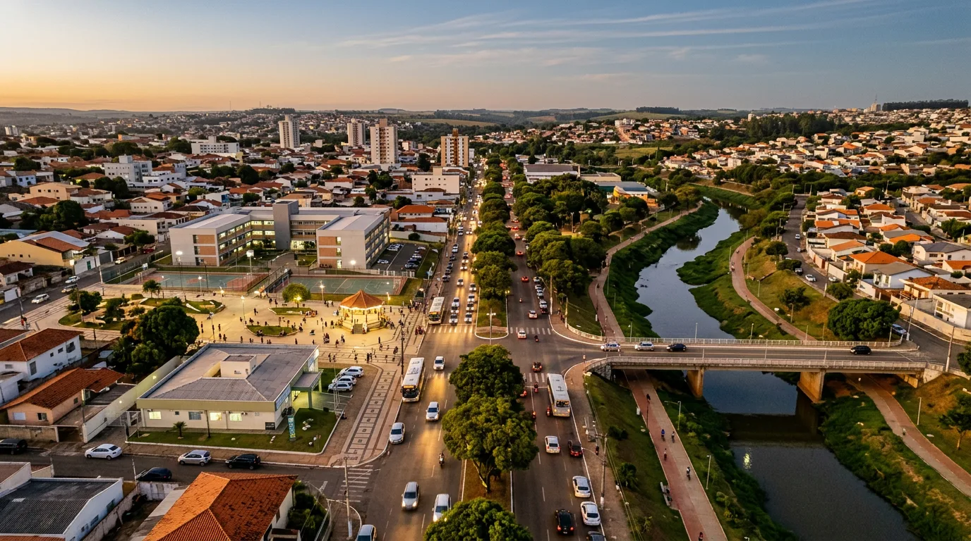
The first question is not what fits inside. It is which urban systems the site can connect to.
Analysis on tracing paper with contours, drainage, vegetation and a safe development axis

Location is a network

Being close is not the same as being connected. The analysis considers road capacity, street network continuity, transport, access to services and the actual ability to enter and leave without creating an enclave.

The landscape designs first

Water, topography and vegetation do not enter at the end as corrections. They define where to build, where to preserve, how to drain the site and which spaces can become the public and landscape framework of the project.

The law does not deliver a design

Zoning, land subdivision, floor area ratios, setbacks and environmental requirements define a range of possibilities. The legal maximum is a limit, not an automatic answer about the real estate product, urban form or value.

Maximizing built floor area is not the same as maximizing the potential of a territory.

Potential is also about sequence

The market does not absorb abstract square meters. It responds to specific products, prices, timing and experiences. Demand therefore needs to be understood alongside the urban context. Housing, retail, services, leisure, hospitality and community facilities can reinforce one another, but only when there is an identifiable audience and an operating model capable of sustaining the whole.

This analysis changes the role of infrastructure. Water supply, sewerage, drainage, power, mobility and community facilities are not simply costs that come later. They determine the order of decisions. An area that looks attractive in the design may depend on the most expensive construction work in the development. Another may use existing networks and create value sooner.

This is where phased development stops being a schedule and becomes a strategy. Each phase needs to work before the entire project is complete. It needs sufficient access, identity, public space and critical mass to avoid feeling like an unfinished fragment waiting for the future.

Infrastructure networks drawn as flows over a territorial analysis Phased development model with completed, intermediate and future areas Physical master plan revealed at the center of layers of sketches and analysis

The master plan makes choices visible

A good master plan does not promise to eliminate conflicts. It shows how each choice affects the others and allows scenarios to be compared before the most expensive decisions become irreversible.

Connecting a new road can open up an area for development, but it changes traffic and costs. Preserving an environmental corridor can reduce the buildable area while creating the defining feature that organizes the whole. Increasing density in one area can finance shared infrastructure, provided that urban capacity and demand support that decision.

Potential emerges at this intersection. It is not the largest possible number. It is the most coherent combination of territory, city, market, investment and time.

Final model of a master plan connected to the city and structured by the landscape

Before asking how much will fit

Ask how the site connects. Where water flows. What legislation permits and requires. Who can sustain the program. Which networks already exist. And which first phase can function without depending on all the others.

These answers do not reduce design freedom. They give the design a direction that can be tested. This is how a large area stops being merely a land holding and becomes a strategy for transformation.

Sources consulted

  1. Brazil. Law 10.257/2001, Estatuto da Cidade (City Statute). Articles 28 to 30, floor area ratios, infrastructure and changes of use. Accessed September 10, 2026.
  2. Brazil. Law 6.766/1979, Urban Land Subdivision. Articles 2 to 4, basic infrastructure, site conditions and urban planning requirements. Accessed September 10, 2026.
  3. Brazil. Law 12.651/2012. Protection of native vegetation and Permanent Preservation Areas (Áreas de Preservação Permanente). Accessed September 10, 2026.

Editorial text and technical interpretation: Arsenic Arquitetos Associados. Application to a specific property depends on local legislation, technical surveys and the particular conditions of the site.

Continue reading

All articles →
Eyes on the street: the public space that keeps the street safe

Strategic Urbanism

Eyes on the street: the public space that keeps the street safe

Safety comes from presence, not from walls or cameras. How quality public space sustains eyes on the street outside business hours, with mixed use, inclusion, and the right density.

Read article ↗
The map of public money for urban projects

Urban Financing

The map of public money for urban projects

FINISA, BNDES, IDB, World Bank, Transferegov, OODC, Ecological ICMS, royalties, FEP Caixa. How a mid-size city combines sources to unlock urban projects.

Read article ↗
The zoning that separated everything: from Euclid to the 15-minute city

Strategic Urbanism

The zoning that separated everything: from Euclid to the 15-minute city

The 20th-century separation of uses and the bill it charged. From Euclid (1926) to the Athens Charter, from Jane Jacobs to the 15-minute city: why the pendulum swung back to the mixture.

Read article ↗