Every subdivision on the serra is three laws at once
There is a phrase I repeat in every preliminary feasibility analysis: each subdivision on the serra is the conversation of three laws at the same time. It is not a figure of speech. It is the operational description of what happens when a serrano parcel comes onto the table.
The first is Law 6.766/1979 (Land Subdivision Law, known by the nickname Lei Lehmann). It defines what a subdivision is, what a lot split is, what a lot condominium is, and sets the basic urban design.
The second is the Forest Code (Law 12.651/2012). It defines APP (Permanent Preservation Areas). The riparian buffers of watercourses. The areas around springs. Slopes with a gradient greater than 45 degrees. Hilltops.
The third is the Land Regularization Law, Law 13.465/2017, known by the acronym Reurb (Urban Land Regularization). When the object is not to open a new subdivision but to regularize what has grown informally, it is this law that provides the path.
On flat land, in a tableland municipality, the conversation between the three is simple.
On serrano land, each one of them extends its reach.
Urban form and minimum infrastructure
Law 6.766 establishes, in the sole paragraph of article 3, section III, that land with a slope equal to or greater than 30% can only be subdivided if specific requirements set by the competent authorities are met. The same paragraph forbids subdivision in flood-prone and inundation-prone land before measures are taken to drain the waters, in land filled with material harmful to public health without prior remediation, in land with geological conditions that advise against building, and in areas of ecological preservation.
On a serra, it is rare for a single stretch of the parcel to escape these five filters at once.
Article 4, section II, fixes the minimum lot at 125 m² and the minimum frontage at 5 meters, with exceptions for specific urbanization projects and previously approved social interest housing complexes. Article 4, section III, required until 2021 a non-buildable strip of 15 meters on each side along running and standing waters; Law 14.285 of 2021 transferred that definition, in consolidated urban areas, to municipal territorial planning legislation, subject to a socio-environmental assessment.
The basic infrastructure of the subdivision is defined in article 2, paragraph 5, as worded by Law 11.445 of 2007. Stormwater drainage. Public lighting. Sanitary sewage. Drinking water supply. Public and household electric power. Circulation roads.
In Social Interest Housing Zones, paragraph 6 allows a reduced package: roads, drainage, drinking water and solutions for sewage and energy.
APP, slope and spring
The Forest Code overlays on top.
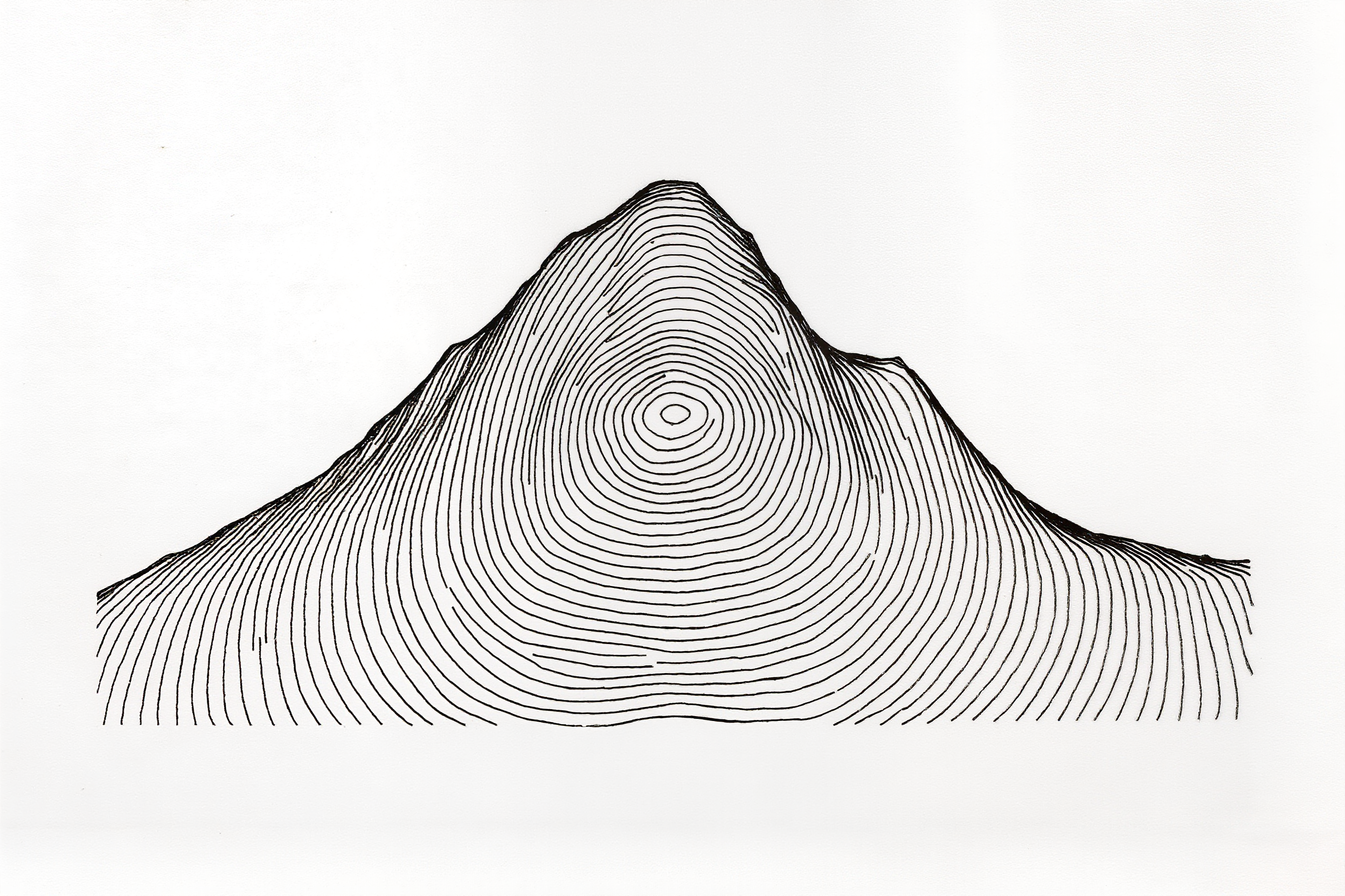
Article 4 requires riparian buffers of watercourses that start at 30 meters for rivers less than 10 meters wide and scale up to 500 meters for those over 600 meters. Around springs and perennial water sources, a minimum radius of 50 meters, regardless of topographic situation. On slopes with a gradient greater than 45 degrees, equivalent to 100% along the line of greatest slope, the area is APP in its entirety. On the tops of hills, knolls, mountains and serras with a minimum height of 100 meters and an average inclination greater than 25 degrees, APP from two-thirds of the height.
On the serrano land of Petrópolis, with dense micro-watersheds and folded relief, the sum of these buffers usually consumes a significant share of the parcel before Law 6.766 even enters the scene.
Theme 1.010 and the end of the comfortable margin
On May 11, 2021, the First Section of the STJ (Superior Court of Justice) ruled on Theme 1.010 under the reporting of Justice Benedito Gonçalves (REsp 1.770.760) and established the thesis: under the 2012 Forest Code, the non-buildable extension of APPs for any watercourse, perennial or intermittent, in stretches characterized as consolidated urban area, must respect article 4, caput, section I, items a to e, of Law 12.651.
In operational language: the Forest Code prevails. The 15-meter strip that came from Law 6.766 is not a ceiling. It can be much greater, depending on the width of the watercourse, and the municipal interpreter must first consult the environmental ruler.
The Law 14.285 window in consolidated urban areas
Law 14.285, of December 29, 2021, opened a specific window. It added to the Forest Code the concept of consolidated urban area and allowed, in paragraph 10 of article 4, that municipal or district law may set riparian buffers distinct from those in section I, provided that the state, municipal or district environmental councils are heard.
The window has three conditions in the text of the law itself: not occupying areas with disaster risk, observing the guidelines of the watershed plan, the stormwater drainage plan or the sanitation plan, when these exist, and respecting the existing exceptions for public utility, social interest and low impact.
Without an approved municipal instrument, an active plan and a socio-environmental assessment, the window remains closed. The regime continues to be that of the Forest Code, in accordance with Theme 1.010.
When one of the three rulers is ignored, the other sends the bill. Almost always doubled.
Reurb-S, Reurb-E and the Land Regularization Certificate
Reurb, in turn, is the doorway for what already exists.
Article 9 of Law 13.465 establishes Urban Land Regularization as a set of legal, urban, environmental and social measures to incorporate informal urban settlements into territorial planning. Paragraph 2 of the same article sets a temporal benchmark: Reurb by land legitimization applies to settlements demonstrably existing up to December 22, 2016.
Article 13 divides Reurb into two modalities. Reurb-S, of social interest, for informal urban settlements occupied predominantly by low-income populations, so declared by an act of the Municipal Executive. Reurb-E, of specific interest, for the remaining settlements. Paragraph 1 of article 13 exempts Reurb-S from court costs and registry fees for a list of registration acts, including the first registration, land legitimization, the opening of property title records, and the first record of a residential building of up to seventy square meters.
The instrument that concludes the administrative process is the CRF (Land Regularization Certificate), established in article 41 of Law 13.465. It is this certificate that proceeds to the real estate registry, under the terms of article 42, and that triggers, under article 44, the opening of individualized property title records for the lots and public areas.
Technical risk study and relocation
On a hillside, there is an additional precaution.
Article 39 of Law 13.465 conditions the approval of Reurb in settlements located in areas of geotechnical risk, flooding or other risks specified in law to the carrying out of technical studies that examine the possibility of eliminating, correcting or managing those risks. Paragraph 1 requires the effective implementation of the measures indicated in the studies as an essential condition. Paragraph 2 goes further: when the risk cannot be eliminated, corrected or managed, Municipalities must proceed to relocate the occupants.
It is not discretionary.
It is technical.
The combined reading of the three laws calls for a team that understands urbanism, environmental law, real estate registry and geotechnics at the same time. In a private subdivision, this arrangement is usually set up around an architect-urban planner who coordinates. In regularization, it usually involves the City Hall, the registry office and, frequently, the Public Prosecutor's Office.
Sources consulted
Accessed on May 16, 2026.
- Law 6.766, of December 19, 1979. Urban Land Subdivision. Consolidated text, Planalto.
- Law 12.651, of May 25, 2012. Forest Code. Consolidated text, Planalto.
- Law 13.465, of July 11, 2017. Urban Land Regularization (Reurb). Consolidated text, Planalto.
- Law 14.285, of December 29, 2021. Riparian buffers in consolidated urban area. Planalto.
- Law 10.257, of July 10, 2001. City Statute, articles 40 and 41. Planalto.
- STJ, First Section, Repetitive Theme 1.010, ruled on May 11, 2021. REsp 1.770.760, reporting Justice Benedito Gonçalves.