What a point of shame is
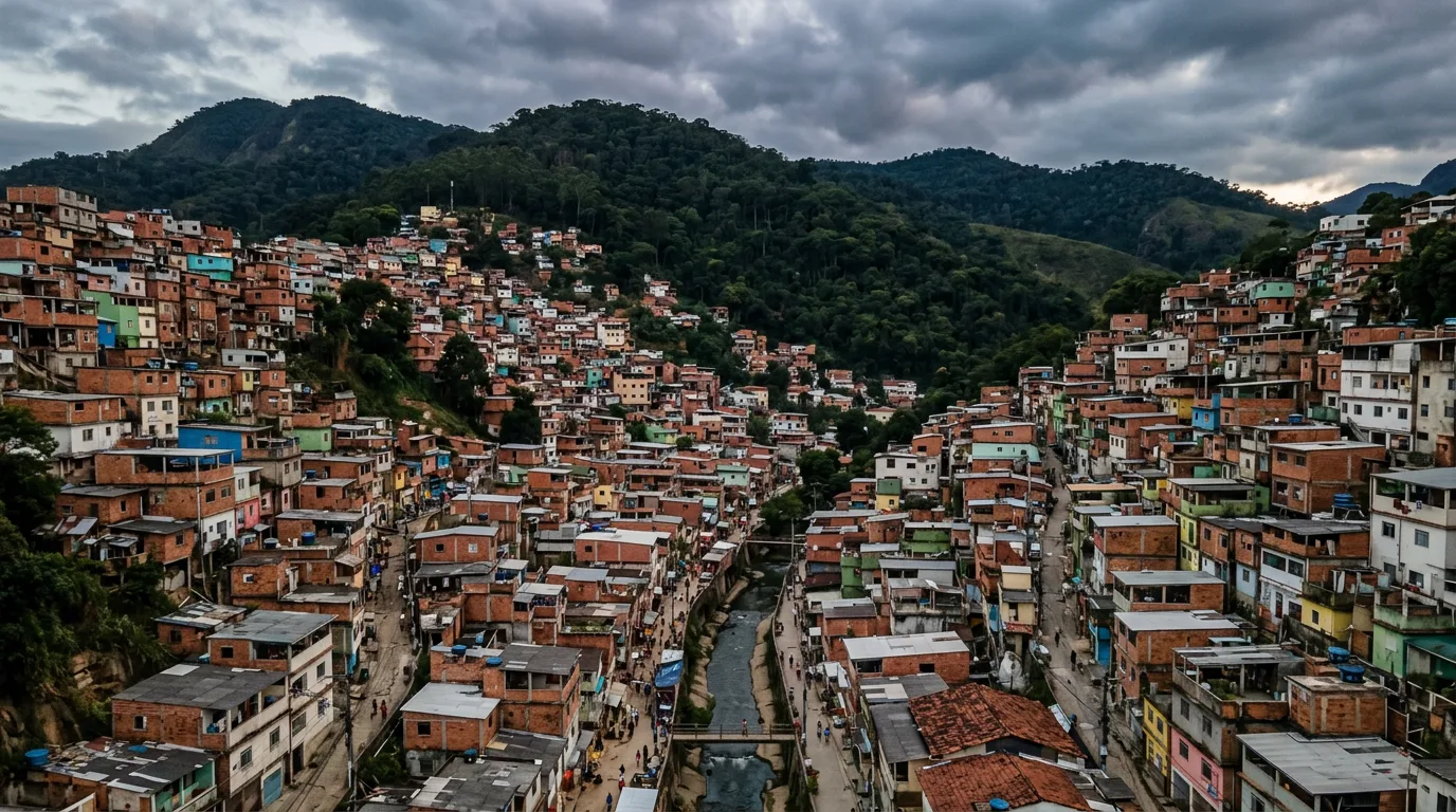
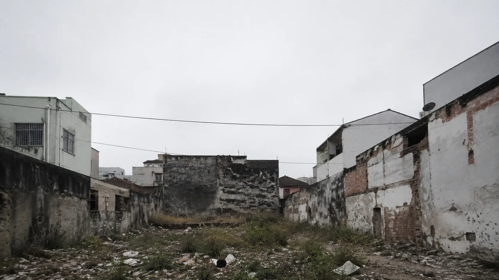
Ask any resident where the worst spots in the neighborhood are and they point without thinking: the vacant lot on the corner, the space under the overpass, the square no one uses, the creek bank. These are the points of shame, the addresses the city hides and that we steer around when taking someone to see where we live.
The easy reading is that these places are dangerous by nature, and that the answer is to avoid them, fence them, or watch them. But most of them share a common and far simpler origin: they are public space that no one designed to be used. The fear they inspire is a symptom, not a cause. It is what is left when a piece of city receives no design, no program, and no care.
That changes everything, because what results from design is solved with design. The point of shame is not a fixed fate of the neighborhood, it is a reversible state. This text is a field guide: the most common types of these places, why each one is frightening, and what, in principle, reverts each one.
A catalog of points of shame
Points of shame repeat from city to city, with few variations. Recognizing them by type helps you see what is missing, because each type fails for one reason and recovers along one path. The table below organizes the six most common ones.
| Archetype | Why it frightens | What reverts it |
|---|---|---|
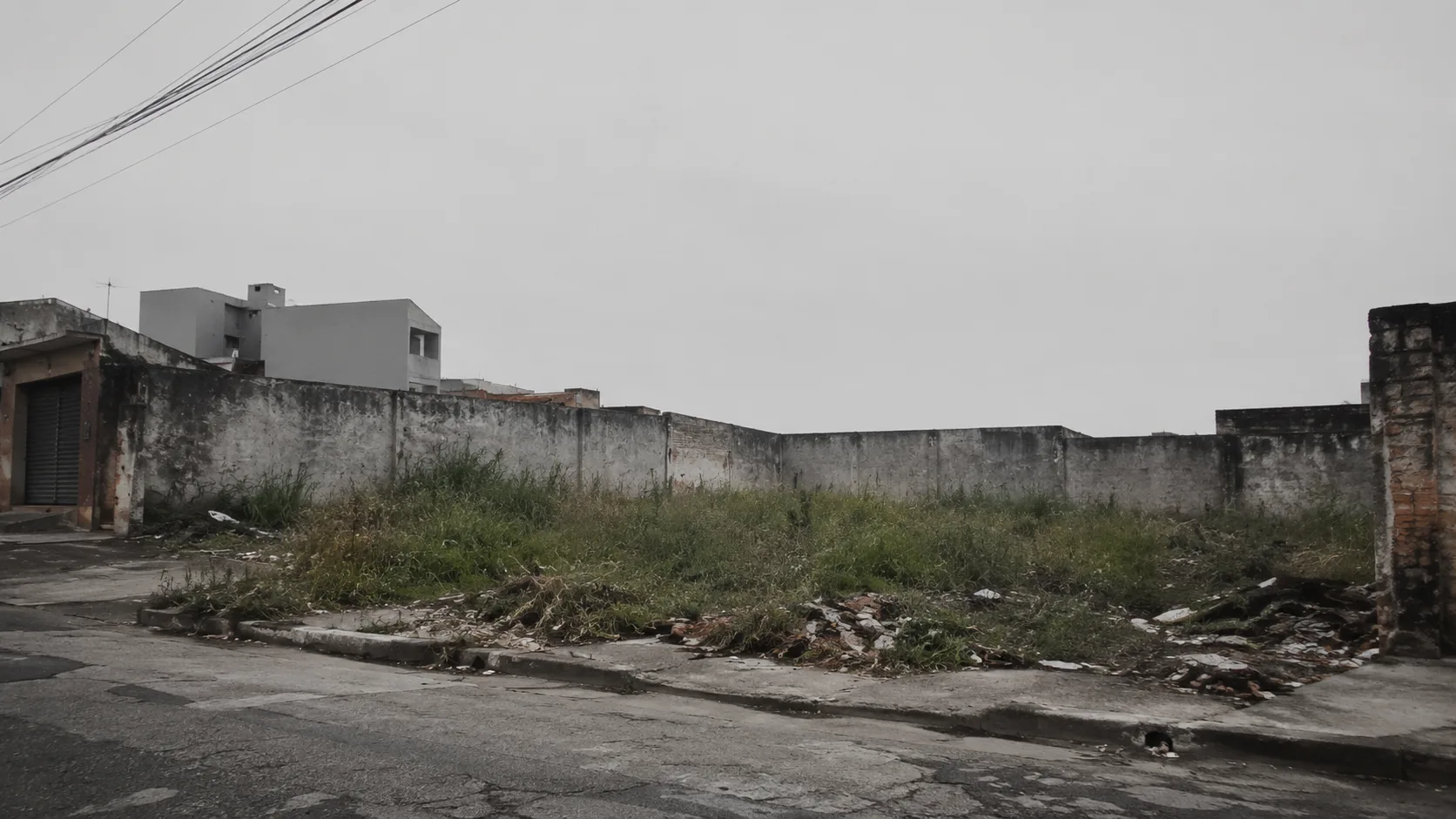
| The vacant lot | An ownerless void, weeds and rubble, no one watching. | Temporary use and an active edge: garden, market, court, until the permanent use. |
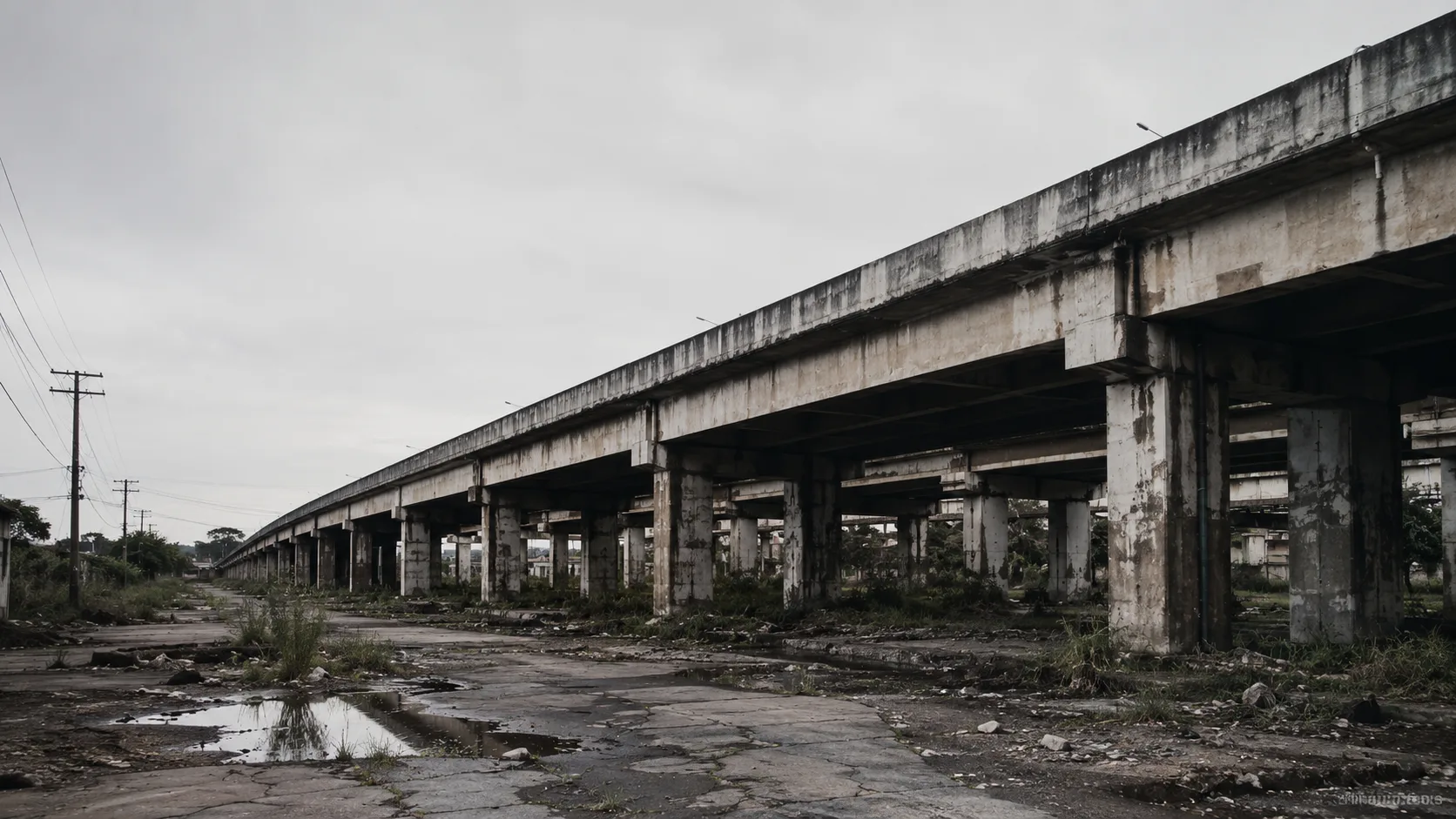
| Under the overpass | Dead, hostile shade, no function, splitting the two sides. | Program, lighting, and a crossing that stitch what the overpass cut. |
| The abandoned square | No shade, bench, water, or reason to stay; only passage. | Lingering: tree, seat, water, and uses that rotate through the day. |
| The roundabout and median | An island of asphalt for the car alone, splitting the neighborhood and pushing out the pedestrian. | Becoming a square for people: pedestrian scale, crossing, a place to be. |
| The creek bank | The city turns its back on the water, which becomes a sewer and a dump. | Opening the front to the water: linear park, path, and the water as an attraction. |
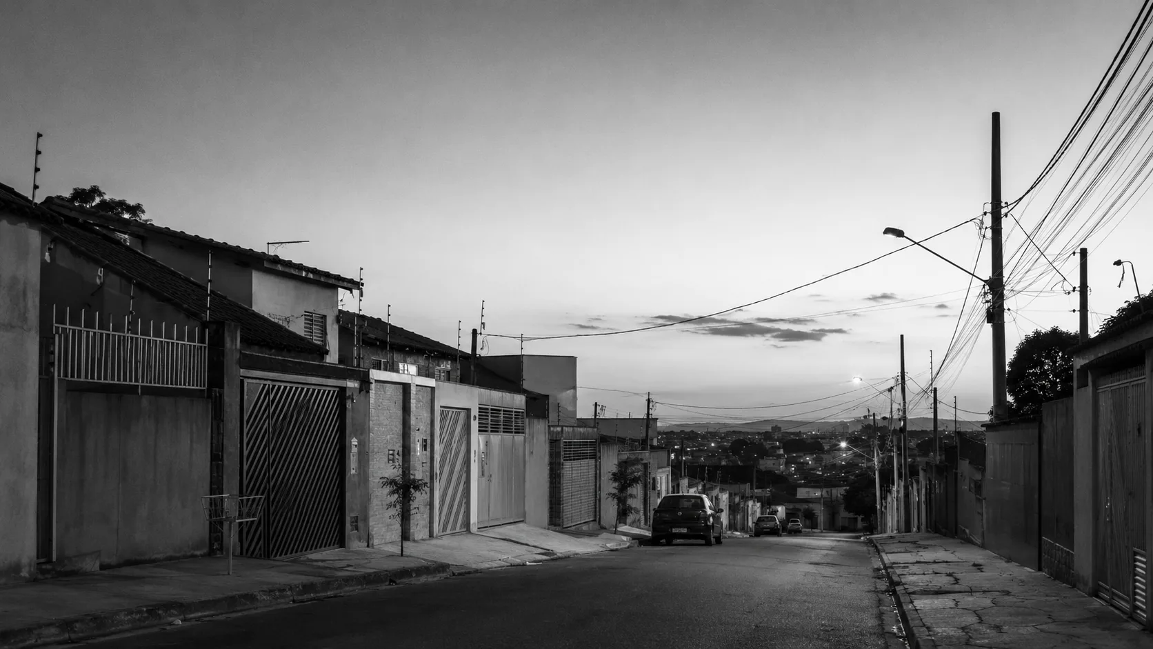
| The blind facade and wall | A block of walls, garages, and terminals that kills the sidewalk. | Active facade and open ground floor, with doors and windows facing the street. |
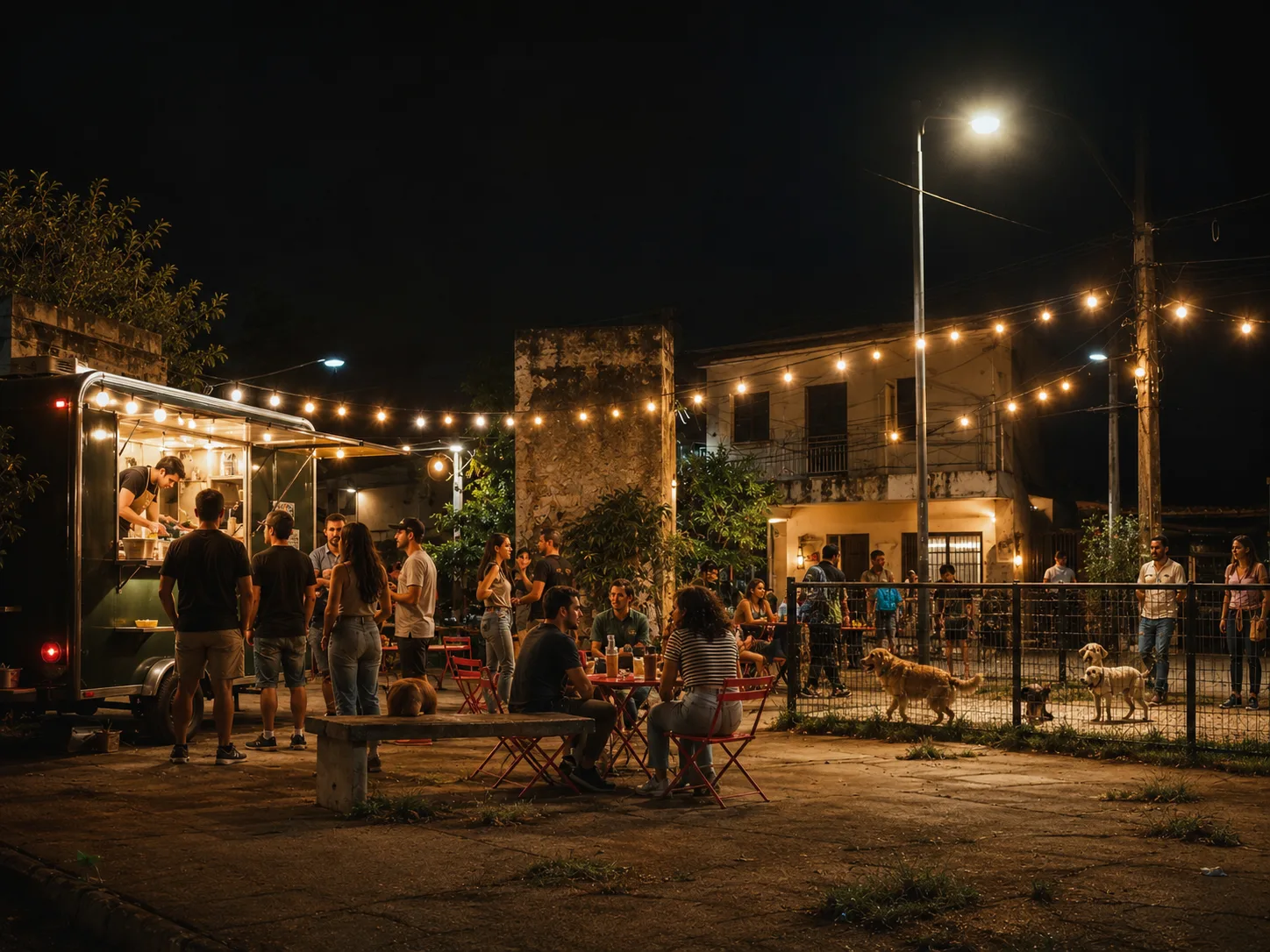
None of these places needs a wall or a camera to change its face. It needs a reason for people to arrive and stay. What changes the vacant lot, the underpass, and the creek bank is the same thing that changes the square: presence, and presence is designed.
What they all share
Behind the six types there is a single denominator: they are places with no reason for presence. No one has anything to do there, so no one stays, and what stays empty becomes unsafe. The reversal, in every case, is the same operation seen from different angles: give the place a use, an active edge, light at the scale of the walker, and people at varied hours.
It is the same engineering that holds up the living street. Safety through presence, eyes on the street, and mixed use, which we cover in Eyes on the street and in Mixed use explained, are the theory behind this reversal. The point of shame is just the extreme case: the place where the absence of design reached its limit, and that is why what it most reveals is the size of what design can give back.
From the city that hides to the city that shows
Every city has two maps: the one of postcards, which it shows, and the one of points of shame, which it hides. The distance between the two is almost never money or luck. It is design.
The same vacant lot we steer around today can be the square we show with pride tomorrow. The point of shame is not born dangerous, it is born without design, and what is designed reverts. Recognizing these places for what they are, public space awaiting a design, is the first step to trade the city that hides for the city that shows.
Sources consulted
All URLs verified on June 25, 2026.
- The Death and Life of Great American Cities, Wikipedia.
- Jane Jacobs, eyes on the street, Project for Public Spaces, PPS.
- Jan Gehl, Life Between Buildings and Cities for People, Wikipedia.
- Project for Public Spaces, placemaking.
Updated on June 25, 2026. Declared editorial limit: this text is a conceptual field guide; the relationship between design, use of public space, and safety is presented as a consolidated urbanism thesis, from Jane Jacobs to Jan Gehl and the Project for Public Spaces, not as a statistic. No crime figure, place, or specific project is asserted. The archetypes described are generic types, not real places.