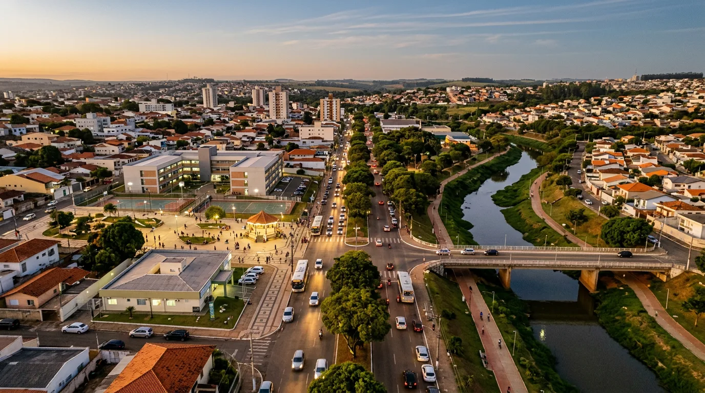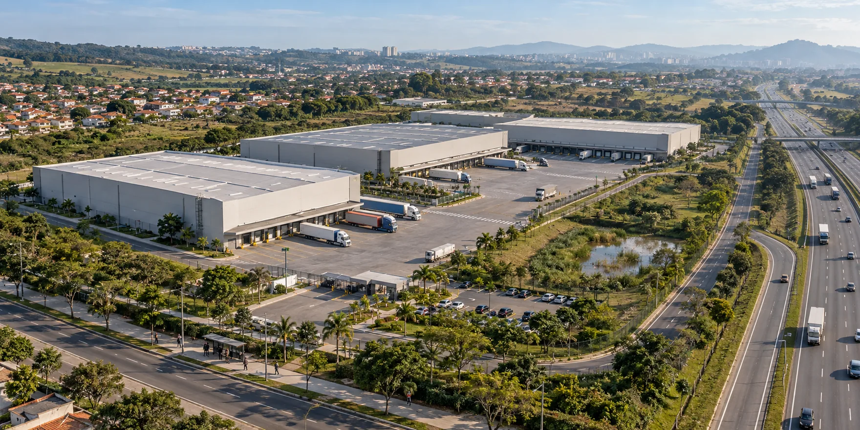
Before designing a warehouse, follow the route that leads to it.
Imagine a large site near a highway, with room to expand. On a drawing, it seems to meet the project’s needs. On the actual journey, however, trucks have to cross a residential neighbourhood, the bus route ends far from the entrance, and stormwater discharge depends on infrastructure that has not yet been checked. This hypothetical situation exposes what a site-only assessment can overlook.
A logistics facility’s location establishes relationships that extend beyond its boundaries. It determines how freight arrives, how people reach their workplace and where new infrastructure needs emerge. Choosing a location should therefore be part of land-use planning from the outset.
01 / The operation
What kind of logistics belongs here?
“Warehouse” describes a building. Deciding where to locate it requires understanding the activity it will accommodate: where goods come from and go, vehicle types, operating hours, storage duration and potential expansion.
A distribution centre stores and distributes goods. A cross-docking operation focuses on transfers between vehicles. A last-mile hub organises the final delivery stage. These distinct functions, identified by the ITF, call for different location assessments. [1]
In an initial study, this distinction can be translated into three questions:
Regional distribution
How does the site connect to the corridors serving its region, considering the complete route taken by larger vehicles?
Freight transfers
Where will waiting, vehicle transfers and concentrated arrivals during busy periods take place?
Urban delivery
How can the base reach its destinations and organise departures without pushing its operations onto the pavement and street?
Site area alone cannot answer these questions. The same property may suit one activity while requiring difficult interventions for another. The operational brief should guide the assessment of the surrounding area.
02 / Trucks
A nearby highway is only the beginning of the journey.
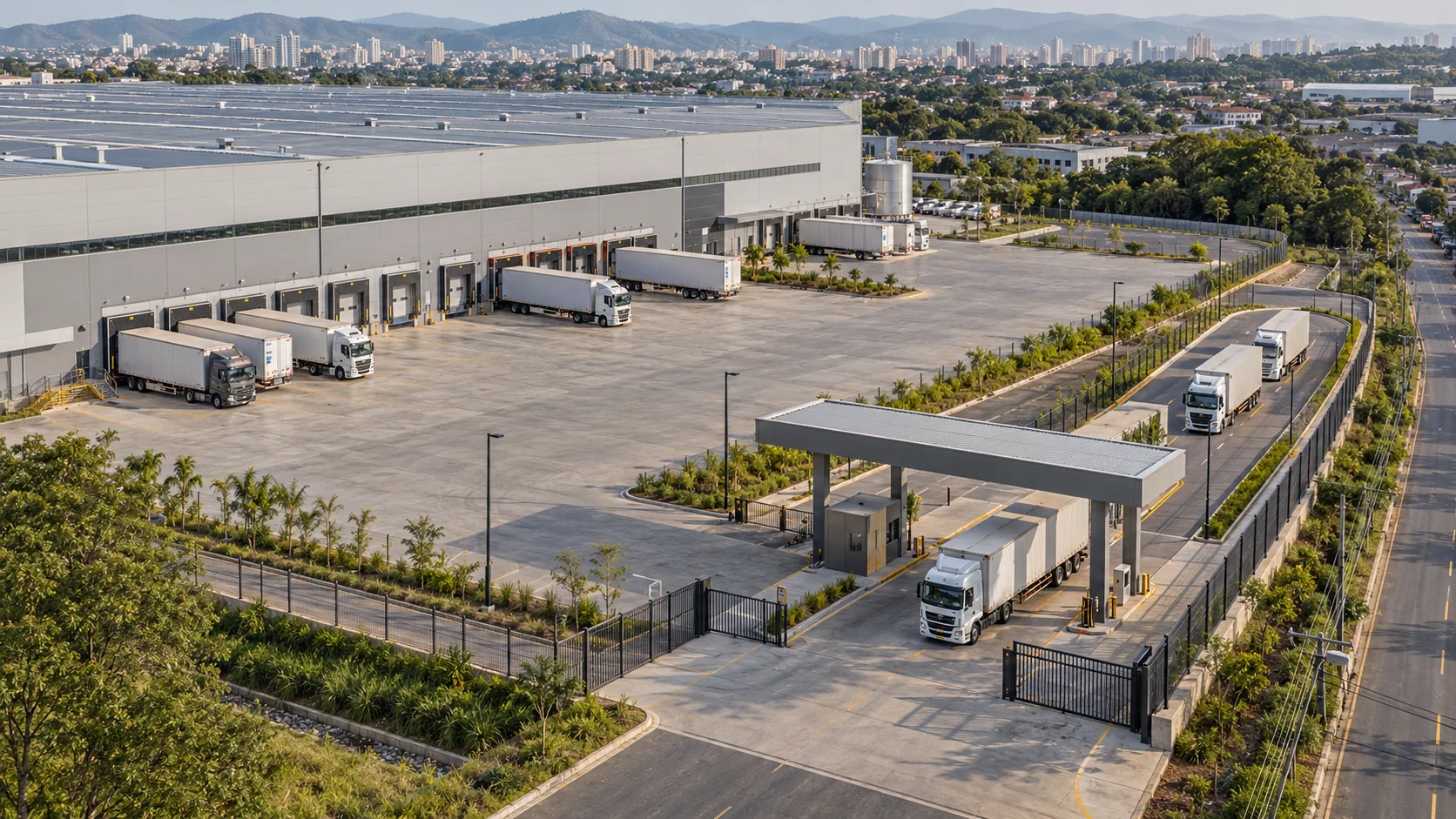
Distance to a highway is useful information. Understanding the actual connection means examining the route: available access, turning points, junctions, traffic restrictions and road conditions. A site visit should follow the intended route at times relevant to the operation.
An assessment can start at the regional corridor and finish at the loading dock. Is there a school crossing along the way? Does access require a turn that the intended vehicle can complete? Would a queue at the gate fit inside the property? Is there an alternative if the main route is blocked?
These questions belong in the site planning study. Providing internal space for waiting and checks, positioning the gate and testing vehicle movements are decisions that need to work with the surrounding road network. A layout that relies on occupying the street to function deserves to be reconsidered before it becomes fixed.
The master plan can record proposed entrances, assessed routes and the interventions on which the development depends. If a new access or a road alteration is required, that condition needs to be addressed with the responsible authority. A connection shown on a drawing still needs its feasibility confirmed.
03 / Workers
Getting to work is part of site planning too.
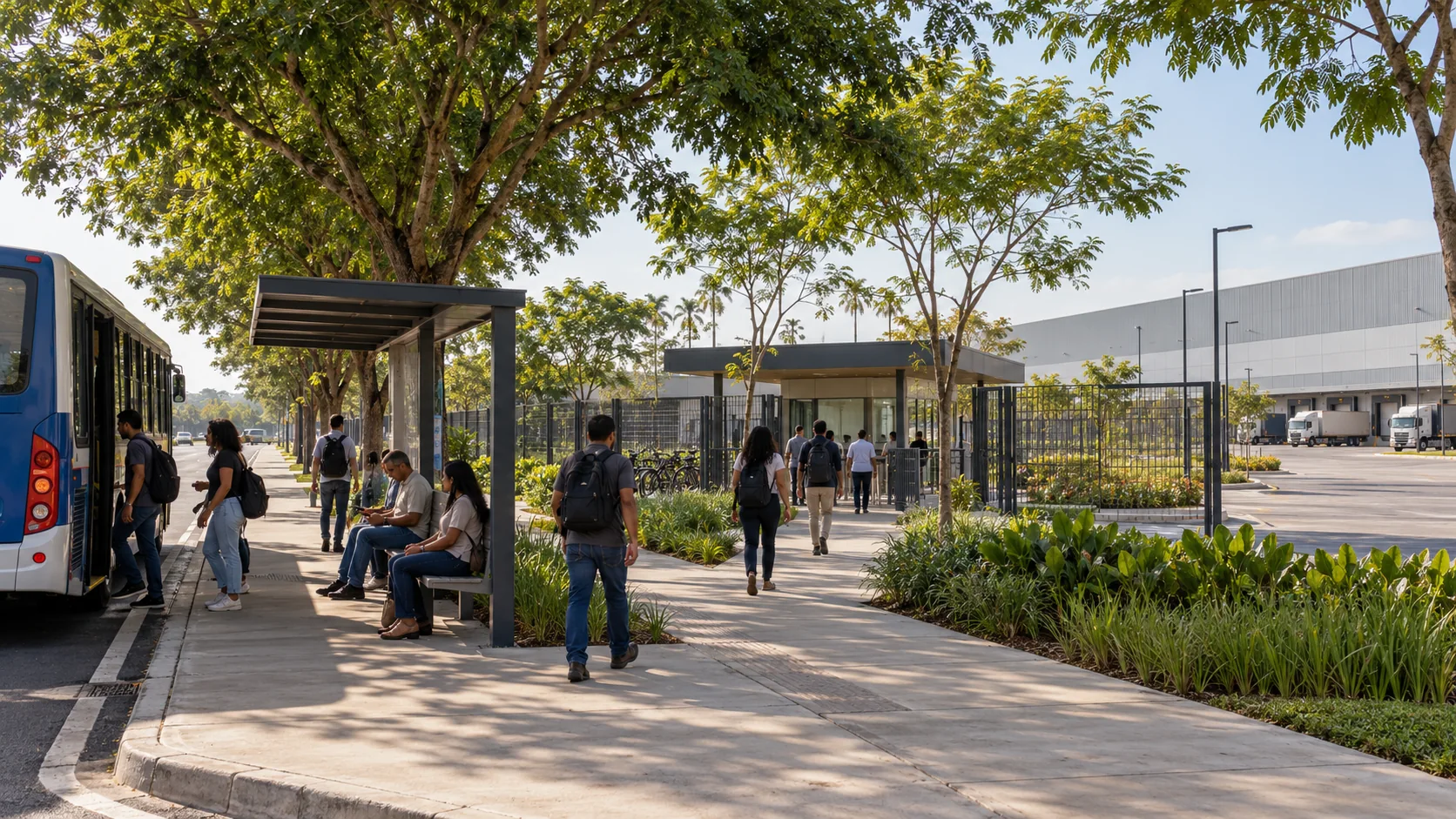
One simple question can change the assessment of a site: how does someone get to work and return home at the times required by their shift? The answer should consider the whole journey, including service frequency, the final walk, crossings and waiting.
Marking a bus stop on a map does not demonstrate that the operation is served. It is necessary to check whether services run at the required times, whether there is an accessible route to the entrance and whether the return journey is still possible when work finishes.
In the layout, this may mean a well-positioned pedestrian entrance, a continuous path, shade, lighting, bicycle parking and carefully designed points where people meet vehicles. Solutions depend on the location. The principle is to include people’s journeys among the criteria for selecting and organising the site.
When workers’ access is left until later, the project may discover a dependency that was already present in the area. Addressing it early allows alternatives to be discussed with operators, public authorities and the developer while there is still room to decide.
04 / Neighbours
The site boundary is also part of the city.
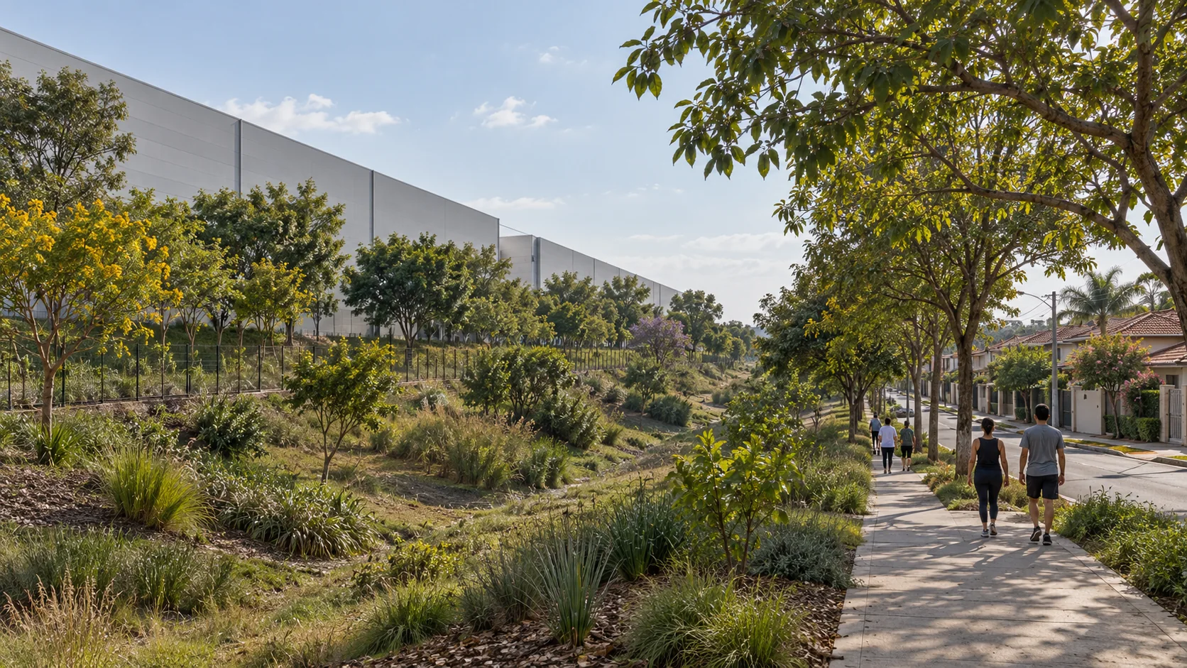
At the edge of a development, internal decisions meet the lives of people outside. Studying this relationship involves overlaying dock positions, proposed operating hours, lighting, equipment and neighbouring uses. A facade facing homes raises different questions from one facing another service yard.
A planted strip can contribute to this transition. Its presence alone does not demonstrate noise control or replace the necessary studies. The project needs to assess which measures belong to site planning, which depend on building design and which require operating rules.
The same care applies to water. Before covering the site with roofs and paving, it is necessary to understand ground conditions, runoff paths and available infrastructure. Drainage solutions must be designed for that situation under the responsibility of qualified professionals.
Designing the edges should be part of designing the whole development. This includes reserving space for necessary measures, verifying utility capacity and discussing how relations with neighbours will be monitored throughout operation.
05 / The urban network
Delivery continues after the vehicle leaves the warehouse.
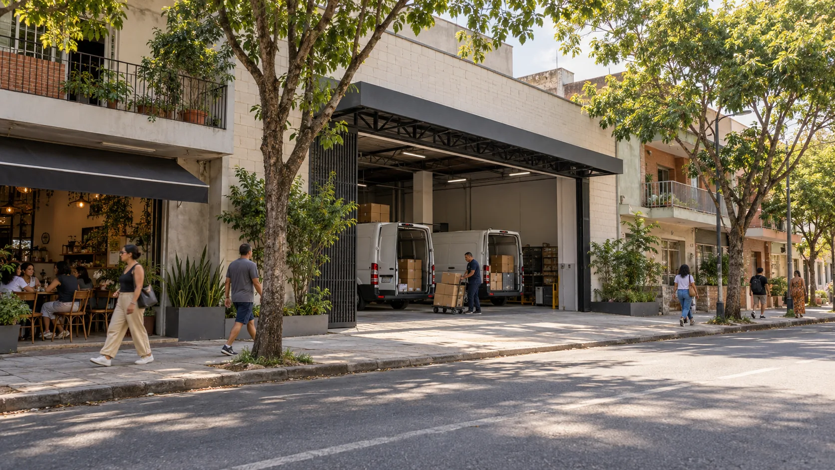
Even when a distribution centre sits on the urban edge, its destinations may be in the centre, residential neighbourhoods and commercial areas. The ITF describes freight management as involving choices about where and when journeys take place and which vehicles use urban space. [2]
This raises a design question: if goods must reach an address, where will the vehicle stop and how will delivery take place? The location of the base and the organisation of its destinations need to be considered together. A smaller base, a transfer point or a different vehicle mix are options to study according to demand and local conditions.
In Brazil, Article 24 of Law 12,587/2012 includes the operation and regulation of freight transport among the contents of the Urban Mobility Plan. The same article requires integration with the municipal master plan and, where applicable, metropolitan plans. [3]
For a municipality, the spatial assessment should connect areas allocated to logistics with freight corridors, passenger transport and infrastructure. For a developer, it is useful to identify which conditions are resolved and which depend on external decisions. This distinction should be clear before implementation commitments are made.
06 / Guarulhos
A planning reference: Guarulhos.
In July 2026, CAF reported that Guarulhos had completed its Integrated Urban Logistics Plan with the bank’s technical and financial support. Proposals include freight corridors, loading arrangements and institutional coordination. The announcement describes a plan and its proposals, rather than implementation results. [4]
This reference helps frame a question for other cities: who brings freight information together and coordinates decisions affecting its movement? When studying a site, it is useful to identify those responsible for roads, utilities and land-use rules. If a condition depends on another party, the master plan should make that dependency visible.
07 / The master plan
What the master plan needs to bring to the table.
A study becomes useful when it allows alternatives to be compared and their requirements understood. For a site with logistics potential, we propose organising the discussion around four deliverables:
An assessment of the operation and its setting
Bring together the proposed programme, routes, nearby uses, environmental conditions and existing networks. Record what has been verified and what still requires information.
Alternative site layouts
Compare entrances, gates, yards, buildings, pedestrian paths and transition areas. Test choices against the vehicles and daily routines envisaged for the operation.
Conditions for opening and expanding
Identify the interventions needed for the first phase and the space required for subsequent ones. Expansion should preserve circulation, utility service and an appropriate relationship with the surroundings.
Responsibilities and monitoring
Identify who needs to design, approve, deliver and maintain each intervention. Define which operational data will be monitored to review decisions over time.
The value of a master plan lies in making these relationships open to discussion before decisions become difficult to change. The arrangement of buildings can then express a strategy for operations and urban integration.
08 / Before deciding
Six questions before choosing the address.
- What operation will be established, and what movements is it expected to generate?
- Has the truck route been checked all the way to the gate?
- How will workers arrive and return home for each shift?
- Which infrastructure and neighbourhood conditions need to be resolved?
- Does implementation depend on works or decisions by other parties?
- What happens to access, utilities and neighbours when the operation expands?
The answers may confirm the choice, call for adjustments or reveal that another site deserves consideration. The key is to choose the address with the city included in the assessment.
Does your site need a broader spatial assessment?
Arsenic develops master plans that connect land use, mobility and infrastructure. Talk to us about the conditions and possibilities of your site.
Talk to ArsenicSources consulted
- ITF / OECD · Urban Logistics Hubs · 2024
- ITF / OECD · The Freight Space Race · 2022
- Brazil · Law 12,587/2012 · Article 24, VI and § 1-A
- CAF · Plano Integrado de Logística Urbana de Guarulhos · 30.07.2026
Accessed on 17 October 2026. The questions and study framework are an editorial proposal by Arsenic. Illustrative scenes do not depict completed projects.