In a central area, a loteamento is almost never a loteamento
The conversation always starts the same way. Someone owns a large area inside the consolidated city and wants to turn it into lots. They call it a loteamento, because that is how people speak. Except that loteamento is a word with a legal definition, and the definition decides the entire procedure that follows.
§ 2 A desmembramento is the subdivision of a tract into lots intended for building, using the existing road system, provided it does not imply the opening of new roads and public thoroughfares, nor the extension, alteration or widening of those already in place.
The difference between the two paragraphs is not vocabulary, it is street. If the operation can be solved with the road system that already exists around it, it is a desmembramento. If it opens a new road, or extends, alters or widens an existing one, it is a loteamento, with everything that comes attached: municipal guidelines, transfer of public areas, a works schedule backed by a guarantee, and its own registration.
In a central area this distinction tends to be treated as the developer's choice, and it is not. It is the City that decides the layout of the main road system, in the guidelines it issues before the project, and a full block with no crossing rarely connects to what surrounds it. That is why a study set up as a desmembramento can come back from the consultation converted into a loteamento, with a different cost and a different calendar. The legal figure is not chosen in the office: it is confirmed at the City.
And there is a third figure, in force since 2017, which changes the arithmetic of central land: the lot condominium. Law 6.766 itself now accepts that a lot may be an autonomous property or a unit belonging to a lot condominium. We will come back to it, because it is frequently the right answer for a block inside the finished city.
The number that decides is how much stays sellable
Every subdivision feasibility study revolves around one fraction: how many sellable square metres are left out of each square metre bought. What eats that fraction is the share transferred as public areas, and in Brazil that share does not come from a federal number.
The original 1979 text set a floor: public areas could not be less than 35% of the tract. That paragraph was given new wording in 1999, and in place of the federal floor came a reference to municipal legislation, which now defines, for each zone, the permitted uses and the urban planning indices, necessarily including minimum and maximum lot areas and maximum floor area ratios. Anyone looking for the percentage in the federal law will not find it, because it changed address.
The consequence is counterintuitive for anyone looking at a city centre. The transfer is proportional to the density foreseen for the zone, and the central zone is usually the densest one in the master plan. More density means more people per hectare, and more people per hectare means more demand for public facilities and open space. High density does not reduce what has to be given back: it may raise it.
The arithmetic of this is simple and worth writing out in full, because it is what fails most deals: if 30% of the tract becomes public area, every real spent on land now spreads over 0.70 sellable square metre, which makes the land per sellable metre 43% more expensive. At 40%, the increase is 67%. At 50%, land per sellable metre costs twice what was paid per metre of tract. This is not a market projection, it is division: 1 divided by 0.70, by 0.60 and by 0.50.
And in a central area that multiplier falls precisely on the most expensive line of the spreadsheet, which is the land. That is why the same transfer a suburban subdivision absorbs without pain can, on its own, kill the same operation three kilometres away.
It is worth remembering what happens to those areas, because it is not a loan. From the date the loteamento is registered, the streets, the squares, the open spaces and the areas set aside for public buildings become part of the Municipality's estate. They leave the estate of whoever bought the tract, and they leave it for free.
The invisible competitor is the floor area ratio
Every plot of land in a central area has a second buyer, who almost never shows up at the meeting: whoever is going to build vertically. And the contest between the two is unequal by arithmetic nature. A lot sells the ground once. A floor area ratio sells the same ground several times over, stacked.
It is no coincidence that the law placed both things in the same spot. It is municipal legislation that defines, for each zone, both the minimum and maximum lot areas and the maximum floor area ratios. They sit in the same article and come from the same municipal law, which means an honest feasibility study reads both at once and compares the two possible destinies of the land, not only the one the client has already decided he wants.
Where the floor area ratio is generous, subdivision tends to lose the land to verticalisation, and the professional conclusion may well be do not subdivide. Where subdivision wins in a central area is where the product is of another nature: retail and service lots fronting a structuring avenue, land for urban logistics operations, private facilities that need a ground floor and not height. And it wins, above all, where some real restriction brings the theoretical ratio down: the surroundings of a listed heritage building, an airport cone, geotechnics, a non-buildable strip, a height limit in a special zone.
The mistake one sees most often is the study that compares the subdivision only with itself, across three lot-price scenarios. That is not a feasibility study, it is a budget with a cover page. Feasibility means comparing destinies, including the destiny of doing nothing.
What is already in the ground, and what only looks like it is
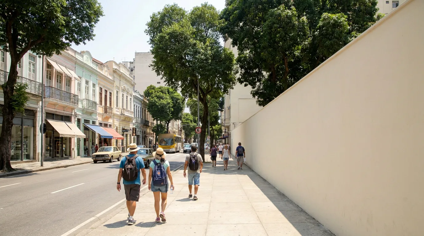
The classic advantage of central land is infrastructure. On a tract at the city edge, installing it is the largest line of the development budget; in a central area, much of it already runs past the corner. The law has a closed list of what it calls basic infrastructure: stormwater drainage, public lighting, sanitary sewage, drinking water supply, public and domestic electricity, and circulation roads. And it defines a lot as land served by basic infrastructure whose dimensions meet the indices set by the master plan or by municipal law for that zone.
This is where the most expensive trap of subdividing in a consolidated area lives: existing is not the same as having capacity. The question that decides is not whether the network runs past the plot, it is whether it will accept the new load the development will place on it. A sewer network at its limit, insufficient water storage, already saturated micro-drainage and a substation with no headroom are problems of an old central district, not of a virgin tract. And that answer comes in writing from the utility company, not from the map and not from the aerial photograph.
A central area also holds liabilities the periphery does not have. The law forbids subdivision in five situations, and one of them is tailor-made for old industrial land: land filled with material harmful to public health, without prior remediation. The other four are marshy land before drainage is secured, slopes of 30% or more except where specific requirements are met, geological conditions that do not advise building, and areas of ecological preservation or where pollution prevents tolerable sanitary conditions. Add to that the express prohibition on approving loteamento and desmembramento projects in risk areas defined as non-buildable in the master plan.
And there are the strips that cannot be built on, which in a central area tend to be decisive because the city grew wrapped around them. Along highway rights of way, the minimum reserve is 15 metres on each side, reducible by municipal law down to 5 metres since 2019. Along railway rights of way, 15 metres on each side. And along running and standing waters, since 2021, the width in a consolidated urban area is the one municipal law defines under the Forest Code, supported by a social and environmental assessment prepared by the Municipality. In a city with a channelled river downtown, this third rule is what separates viable land from decorative land.
Subdividing is not dividing the land.
It is deciding how much of it stops being yours on the day of registration.
The order is not the consultant's preference, it is in the law
There is a widespread belief that the urban planning study comes after the drawing, in order to justify it. Law 6.766 says the opposite, and it says so in the order of its articles.
What comes back from that consultation is not an opinion. It is the existing and planned streets to be respected, the basic layout of the main road system, the approximate location of the land for public facilities and community equipment and of the public open spaces, the sanitary and non-buildable strips, and the predominant use zone. In other words: the guidelines already deliver, before the first drawing, almost every variable that decides the sellable fraction of section 02.
And they have an expiry date. The guidelines issued are valid for a maximum of four years. From that point the development's clock is running, and it keeps running in the articles that follow: the approved project must be executed within the schedule, on pain of the approval lapsing, and the developer has 180 days to submit the approved project for property registration, also on pain of lapsing.
Registration, in fact, is the stage that reveals the health of the title, and it is where a badly made deal gets stuck. The law requires the title deed or the certificate of the property record, the history of titles for the last 20 years, clearance certificates for taxes levied on the property, certificates of real actions and of civil and criminal actions concerning the developer, and proof of the works completion certificate, or the approval of a schedule of up to two years accompanied by a guarantee instrument.
Look at the sequence, because it answers the question about when to run the study: money goes into the land at the beginning, and the product only exists legally after registration. Everything discovered between those two points is time, and time, in a business that has already paid for the land, is the main cost. Whoever draws before asking does not save time: he buys the right to find out late.
When the centre works in your favour
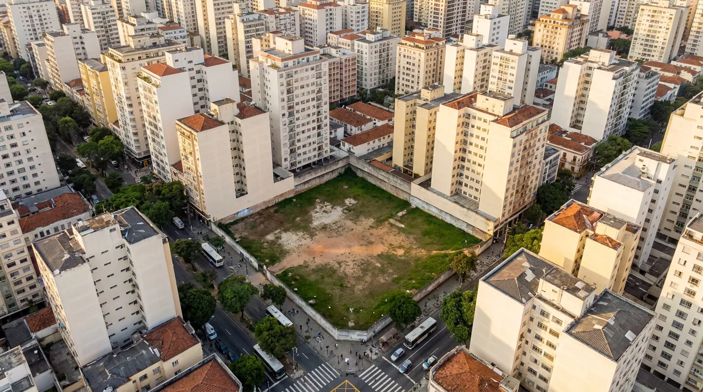
None of this makes central subdivision unviable. It makes it selective. And there are four instruments that exist precisely for the situation of idle land inside the finished city.
The owner's clock. A specific municipal law covering an area included in the master plan may impose compulsory subdivision, building or use of urban land that is undeveloped, underused or unused, setting the conditions and the deadlines. Those deadlines have floors in the federal law: at least one year from the notification to file the project, and at least two years from approval to start the works. Where this instrument is regulated and in use, the owner of the central void has a legal calendar, and that changes both the price and the tone of the negotiation.
The owner who has land and no capital. For that situation there is the real estate consortium: the municipal government may allow the owner subject to that obligation to establish the consortium as a way of financially enabling the use of the property. In the legal mechanics, the owner transfers the property to the municipality and, once the works are done, receives as payment property units duly urbanised or built, corresponding to the value of the property before the works. It is the arrangement that unlocks land whose owner cannot or will not invest.
The figure that avoids transferring areas. Since 2017 the Civil Code has accepted the lot condominium, in which land contains parts designated as lots held in exclusive ownership and parts held in common ownership. Since 2022, the real estate development regime applies to it, treating the developer as the equivalent of a building developer for civil and registration purposes. The counterpart is written into the same rule and is not small: for development purposes, the whole infrastructure is the developer's responsibility. There is no transfer of areas to the municipality, and there is also no public street and no public works. It is a trade, not a shortcut.
And the gate that cannot close the city. The access-controlled loteamento has been a legal category since 2017, with access control regulated by an act of the municipal government, and it is forbidden to prevent access by pedestrians or drivers who are not residents, provided they are duly identified or registered. In a central area, where every blocked crossing pushes the pedestrian to the next block, that prohibition is not a legal detail: it is what separates a new neighbourhood from an urban obstacle with a gatehouse.
Six questions, in this order
A feasibility study for subdivision in a consolidated central area answers six questions, and the order among them matters more than the answer to any one of them alone.
- What the property record says. Title, encumbrances, real area checked against registered area, history. It is the only question that can close the matter on its own.
- What the municipal law allows in that zone. Uses, minimum and maximum lot, maximum floor area ratio, and the foreseen density, which is where the transfer of public areas comes from.
- Which figure fits. Loteamento, desmembramento, lot condominium, or none of them. Confirmed in the guidelines, not chosen at the drawing board.
- How much stays sellable. The fraction from section 02, calculated with the layout the City indicated, not with the layout one would like to have.
- Which infrastructure is genuinely missing. Measured in declared available capacity, not in the existence of a network at the frontage.
- Only then product, price and timeline. In this order, and not before, because the previous five are what define what there is to sell.
Getting the order wrong does not make the project wrong. It makes the project expensive. And the cost of finding out late is not rework at the drawing board: it is expired guidelines, a lapsed approval, a registration that does not go through and capital parked in land that is not yet a product. In the centre of a city, it is always the land waiting for someone, and never the other way round.
Sources consulted
All URLs verified on 23 August 2026, against the official consolidated text.
- Law 6.766 of 19 December 1979, urban land subdivision, official text, Planalto. Art. 2, §§ 1, 2, 4, 5, 7 and 8; art. 3, sole paragraph; art. 4, items I, II, III, III-A and III-B and § 1; arts. 6 and 7; art. 12, §§ 1 and 3; art. 18; art. 22.
- Law 9.785 of 29 January 1999, official text, Planalto. New wording of art. 4, item I and § 1, and of the sole paragraph of art. 7 of Law 6.766.
- Law 10.257 of 10 July 2001, City Statute, official text, Planalto. Art. 5, compulsory subdivision, building or use and its deadlines; art. 46, real estate consortium.
- Law 10.406 of 10 January 2002, Civil Code, consolidated text, Planalto. Art. 1.358-A and §§ 1 to 3, lot condominium, added by Law 13.465 of 2017, with § 2 as worded by Law 14.382 of 2022.
- Law 13.913 of 25 November 2019, official text, Planalto. Reduction of the non-buildable strip along highway rights of way.
- Law 14.285 of 29 December 2021, official text, Planalto. Non-buildable strips along railways and along running and standing waters in consolidated urban areas.
Updated on 23 August 2026. This text is an analysis by Arsenic Arquitetos on the method of the land subdivision feasibility study, and it is not legal advice, an opinion, or a statement about any specific development, plot or proceeding. There is no projection here of returns, lot prices or approval timelines. The percentages cited in section 02 are example arithmetic, not market data. Urban planning indices, the transfer of public areas, the width of non-buildable strips in consolidated urban areas and the requirement of prior state consent depend on the master plan and on the legislation of each Municipality and State, and the reading applies case by case.